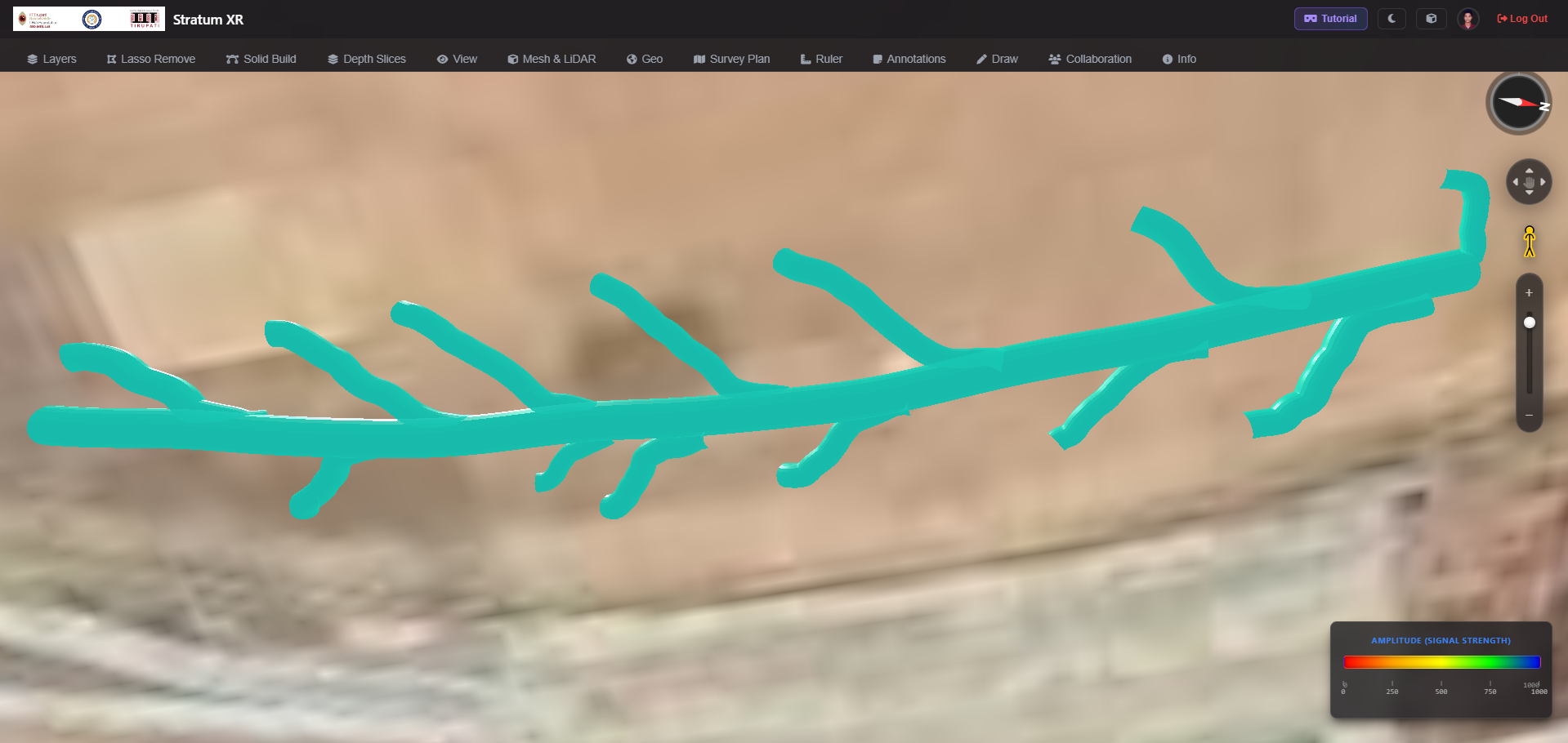
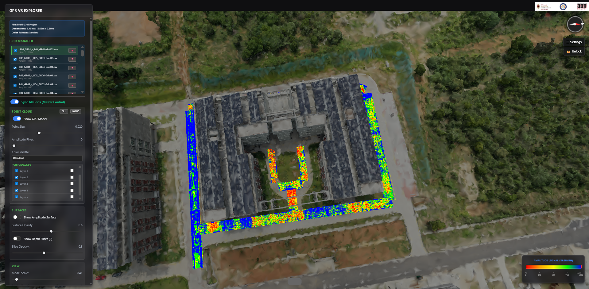
Visualize the Invisible
High-performance computing transforms GPR and multi-source geospatial data into immersive, real-world insight.
Handle Large Datasets
Process data with ease on any computer.
Collaborate in Real Time
Share securely with cloud storage.
Multi-Format Support
Work with GPR, LiDAR, photogrammetry and other geospatial sources.
Secure Cloud Sync
Encrypted backups, access controls and audited data protection.
3D Visualization
Explore layered subsurface structures in interactive, immersive 3D scenes.
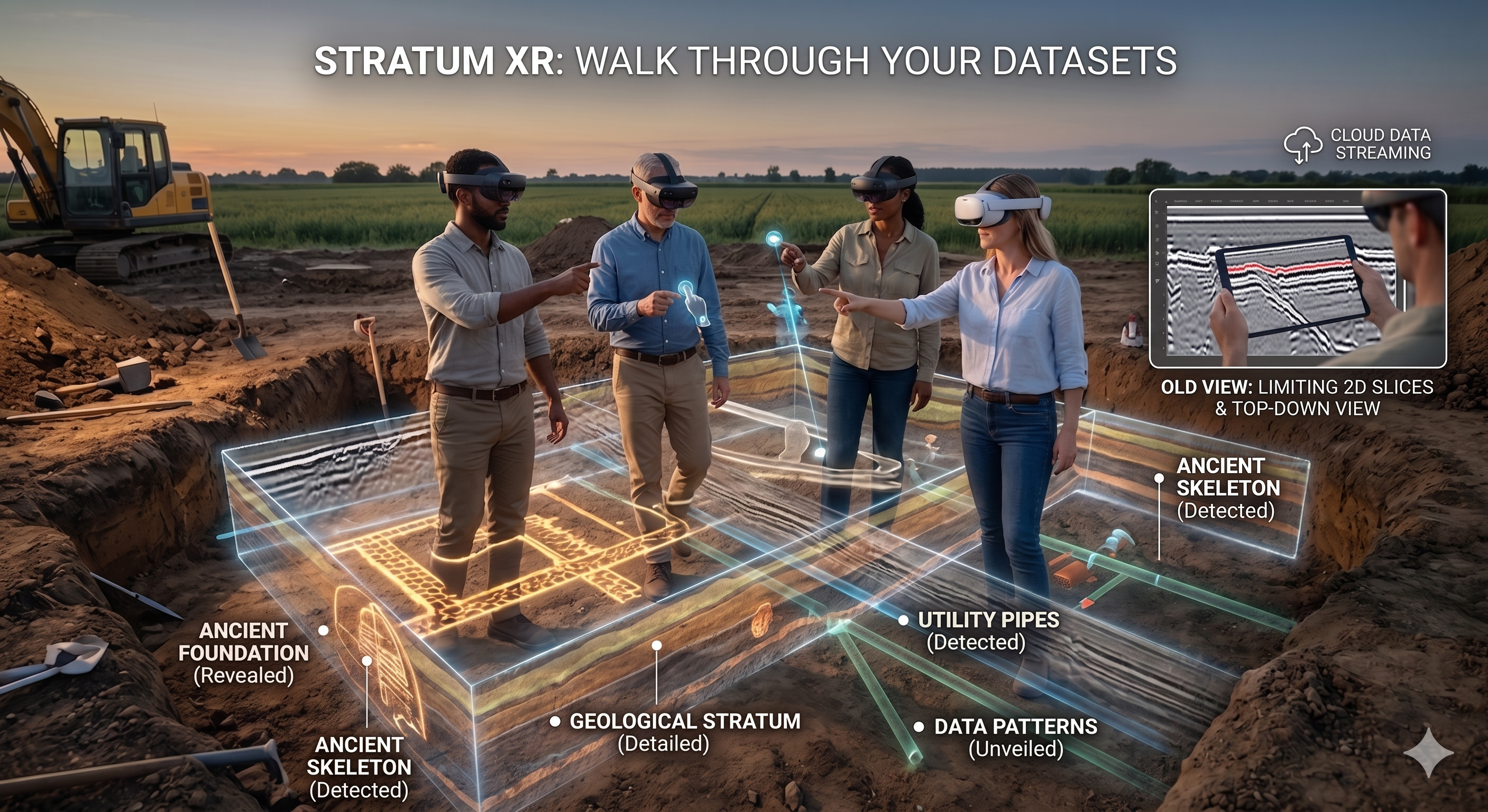
Virtual Reality Support
Step into your datasets with VR-ready workflows for immersive analysis and collaboration.